
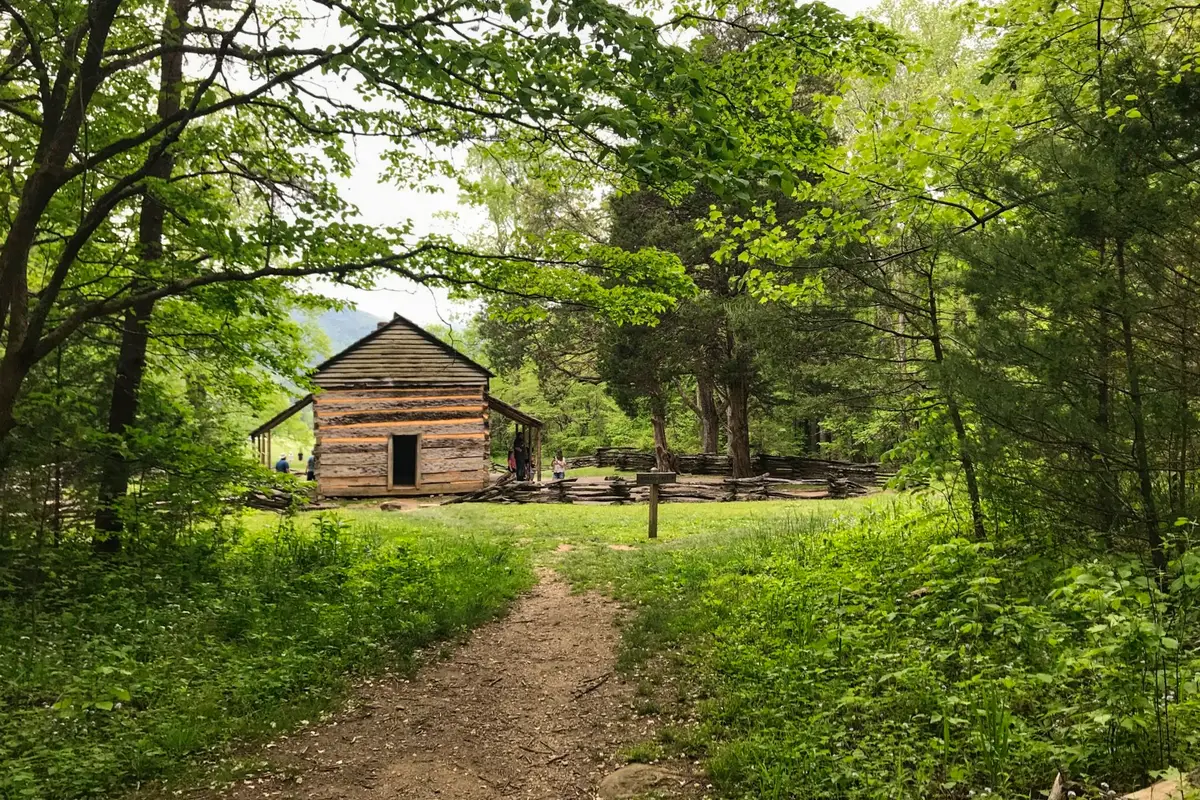
Explore the Indian Grave Gap Trail, a wildflower famous in and around the Great Smoky Mountains National Park, the flame azalea, is one of the highlights for people seeking out the Indian Grave Gap Trail. The Indian Grave Gap Trail is a 3.7 mile hike from Rich Mountain Road just outside Cades Cove to the junction of the Crooked Arm Ridge and the Scott Mountain trails, and the views aren’t bad either.
35.62374208534829, -83.81556860301842
Difficulty: Hard
Length: 3.7 mi
Elevation gain: 1,991 ft
Route type: Loop
Kid friendly, Backpacking, Camping, Hiking, Horseback riding, Walking, Running, Forest, Views, Waterfall, Wildflowers, Wildlife, No dogs
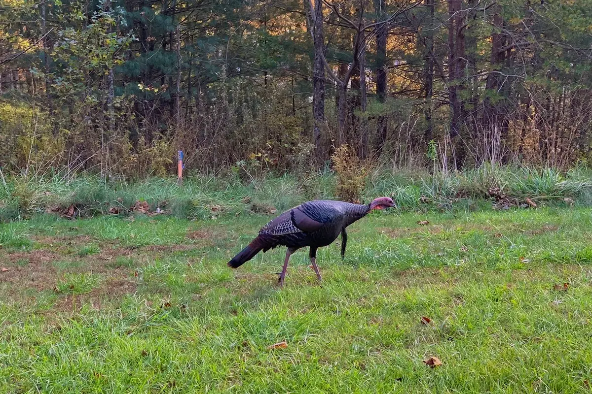
Did the Indian Grave Gap Trail to Indian Grave Gap hike at the end of October. I think this trail is more difficult than a moderate trail. On the trail, there were a lot of squirrels and chipmunks, but no big animals. I did see two bears poop spots on the mountain.
The colorful leaves on the ground and what was left on the trees made the path look nice. Since the highest point is about halfway through the trail, there is no easy way up. There is also no grand view, as other reviewers have said. Instead, there are just small views between the trees and views of trees that have already lost their leaves.
The Indian Grave Gap Trail is a nice route that is easy to follow, but be careful on the way down. There were so many leaves that it was hard to see what was under your feet. I think you should bring your hiking poles if you have them. On this trail, they saved me twice and kept me from taking a hard fall on the way down.
Want more ideas to round-out your hiking trip to Tennessee?
A lot of great trails are in these posts!
- 25 Best Hikes In Smoky Mountain National Park
- 5 Top Reasons To Visit Chimney Tops Trail
- The Great Middle Prong Trail Plus 2 Side Trails
- 5 Top Sugarlands Valley Nature Trail Hiking Things to Do
- Hen Wallow Falls Via Hen Wallow Falls Trailhead

The Great Indian Grave Gap via Indian Grave Gap Trail
check out our video
Indian Grave Gap via Indian Grave Gap Trail Description
Rich Mountain Road is a gravel road that goes from Cades Cove to where the Indian Grave Gap Trail starts. During the winter, you can’t get there. Rich Mountain Loop Trail, Rich Mountain Trail, and Crooked Arm Ridge Trail also lead there.
The Rocky Mountain Trail on USFS 283 is the starting point for a shuttle hike up the short 800-foot hill to Rocky Mountain (Indian Grave Gap Road). There isn’t an official place to park here; you’re just pulling off the forest road.
The first 2.3 miles of the Indian Grave Gap Trail go up at an average rate of about 489 feet per mile. Once you get to the ridge, the trail goes down a little bit and is a nice walk along the ridge. At 1.1 miles, the trail meets the Rich Mountain Loop Trail. The Rich Mountain Loop Trail goes 3.4 miles to Cades Cove.
At 1.4 miles, there is a side path that leads 200 feet to an open nob where the foundation for a fire tower still stands. At 1.9 miles, the trail meets up with Rich Mountain Trail, which goes 2.3 miles down to Rich Mountain Road at the park boundary. The trail ends at the junction of Scott Mountain Trail, Crooked Arm Ridge Trail, and Rich Mountain Loop Trail, which is 2.2 miles away.
From USFS 283, you immediately see a sign that says you’re on the Rocky Mountain Trail. From there, it’s a steep 1.0-mile climb to a point where the Rocky Mountain Trail meets the Appalachian Trail. Turn left here and keep going up the A.T. southbound for another 0.4 miles until you reach Rocky Mountain (4017 feet).
On Rocky Mountain, the A.T. goes past a small campsite and up to a small rock outcrop with a nice view of Yonah Mountain and the south. So, if you want to spend a few hours on the Trail, this is a nice day hike. The Appalachian Trail goes down 1.2 miles and 904 feet from Rocky Mountain to Indian Grave Gap (3113 feet). All together, this hike with a shuttle is 2.6 miles.
It is 0.8 miles from the Appalachian Trail at Indian Grave Gap to where you parked your first car at the trailhead for the Rocky Mountain Trail. You can make this a loop hike by walking the gravel USFS 283 (Indian Grave Gap Road) back to where you started. Most people hike to the top of Rocky Mountain from Unicoi Gap, which is a 1100 foot climb. This Indian Grave Gap route is a less crowded way to get there.
Hiking Tips For Indian Grave Gap via Indian Grave Gap Trail
Pack the 10 Essentials For Every Hike
1. Navigation + Communication Devices Fully Charged
2. Sun Protection
3. Proper Footwear + Extra Clothes
4. Water
5. Extra Food
6. Headlamp
7. First Aid + Repair Kit
8. Knife / Multi-tool
9. Fire Tools
10. Emergency Shelter
11. Trash Bag
Directions To Indian Grave Gap via Indian Grave Gap Trail:
To get to the Indian Grave Gap Trail trailhead from Townsend, TN, take Cades Cove Loop Road to Rich Mountain Road, which is right across Loop Road from the Cades Cove Missionary Baptist Church. From there, Cades Cove Mountain is 2.2 miles up.
You’ll also have to go over Tater Ridge and Branch to reach Indian Grave Gap After that, the Indian Grave Gap Trail goes right off the road. There is a small parking area at the start of the trail. Also, from November to March, Rich Mountain Road is usually closed.
Review
Review of the Trail
Don’t worry that there will be a lot of graves at Indian Grave Gap, there aren’t any. No one really knows why it was called “Indian Graves,” since there aren’t any graves but it is good for the kids and the imagination. Only lovely views of the Smoky Mountains on this hike.
A lot of Indians did travel through these areas when the Cherokee outnumbered the European settlers, especially in the Cades Cove area.
At the start of the Indian Grave Gap hike, you’ll go up a little bit before it starts to go down to Indian Grave Gap. For the next mile, you’ll climb more than 1,000 feet.
The intersection with the Rich Mountain Loop Trail is the next sign on the trail. At that point, you know you’re almost at the top of Tater Ridge and almost 1.1 miles into the trail. If you look to your right, you can see some beautiful views of Cades Cove.
As you continue to climb the Indian Grave Gap Trail, you should see flame azaleas with their bright orange flowers that bloom in June and July along this part of the trail. You are now going up Double Mountain, which is called that because it has two peaks.
At the 1.9-mile mark, you’ll find the Rich Mountain Trail. Backcountry campsite No. 5 is about 100 yards away, to your left. Cerulean Knob is 0.3 miles ahead. At mile 3.7, there is a point where three trails meet. Crooked Arm will take hikers back to Cades Cove. Happy hiking!
Indian Grave Gap Trail Nearby Trail to Hike
Schoolhouse Gap Trail
Check out this 4.1-mile trail near Townsend, Tennessee, that goes out and back. Most people think of it as a moderately hard route, and it takes an average of 1 hour and 43 minutes to finish. The Schoolhouse Gap Trail is a great place to see wildflowers in the spring.
Along the lower parts of the trail, we saw a lot of Virginia bluebells. As we went higher, we also saw beaked violets, pink lady’s slippers, fairy wand, golden aster, star grass, red clover, Robin’s plantain, sun drops, Catesby’s trillium, and lyre-leaf sage.
When we went hiking in mid-May, the rhododendron and mountain laurel along the trail were just starting to bloom. During this time, hikers on the trail may also see cardinal flower, Carolina vetch, and yellow ragwort.
Difficulty: Easy
Length: 4.1 mi
Elevation gain: 521 ft
Route type,
Out & back, Kid friendly, Hiking, Horseback riding, Running, Views, Wildflowers, No dogs
Review
The first time we hiked the Schoolhouse Gap Trail, the National Park Service had put up signs at the trailhead warning hikers that bears had been on the trail and to be careful. When we reached the end of the trail at the Chestnut Top Trail junction, it was interesting that this sign warned of bears and said the trail was closed.
I’m writing this to remind you that no matter when or where you hike in Great Smoky Mountains National Park, you are always in bear country. Hikers should know how to stay away from bears and what to do if they come across one. The website for the Smokies is a good place to begin.
Chestnut Top Trail
Check out this out-and-back trail that goes 8.5 miles near Gatlinburg, Tennessee. Most people think of it as a moderately hard route, and it takes an average of 4 hours and 10 minutes to finish. This is a popular trail for backpacking and hiking, but there are times of the day when you can still be alone. Dogs can’t go on this trail, so you’ll have to leave them at home.
Difficulty: Moderate
Length: 8.5 mi
Elevation gain: 1,666 ft
Route type: Out & back
Backpacking, Hiking, Forest, River, Views, Wildflowers, Wildlife, No dogs
Review
Great hike. If you start at the Townsend Y, the first few miles are pretty steep. Not that bad, though. The wildflowers are starting to die, but you can still see them for a little while longer. As you get closer to the end of the trail at School House Gap, fire azaleas start to bloom.
After you left the trailhead, you didn’t see many people. As we got closer to the start of the trail, some people lost the bottoms of their shoes. A great way to get away from the crowds on the weekend.
Meigs Creek Trail
Try out this 3.5-mile trail that goes out and back near Townsend, Tennessee. Most people think of it as a moderately hard route, and it takes an average of 1 hour and 47 minutes to finish. People like to hike and run in this area, so you’ll probably run into other people while you’re exploring. Dogs can’t go on this trail, so you’ll have to leave them at home.
Difficulty: Challenging
Length: 3.5 mi
Elevation gain: 744 ft
Route type: Out & back
Hiking, Running, Forest, River, Waterfall, Wildflowers, Rocky, No dogs
Review
We went right up to where the road split. The water fall was the best part. The trail has a lot of pretty leaves and is very quiet and peaceful. After the waterfall, I only saw a few people. It was interesting to cross water more than once. I don’t know where the time of 1 hour and 45 minutes came from. At a moderate pace, we took 3 hours to go up and 2 hours to go down.
Things to Do Near the Indian Grave Gap
Cowboy Tubing
Review
Cowboy Tubing needs to get rid of the tubes that have been fixed up. My husband’s inner tube popped while he was on the river, so he had to walk with it over mossy rocks to get to the finish landing. When he looked at the blue and white tube, he saw that it had been fixed more than once.
We showed the young man at the office the deflated tube and told him what happened. He didn’t say anything nor did he offer to refund our money.
Tuckaleechee Caverns
Townsend, Tennessee’s Tuckaleechee Caverns. The highest-rated cave or cavern in the eastern United States is called the “Greatest Site Under the Smokies.” The Caverns are part of the world’s oldest mountain chain and are thought to be between 20 and 30 million years old. They also have a lot of history and legends.
AAA gave 5 stars to Tuckaleechee Caverns in Townsend, Tennessee, because it is a huge cave system and tourist attraction. Gatlinburg, Sevierville, Townsend, Cades Cove, Knoxville, and Chattanooga are all close enough to drive to Tuckaleechee Caverns in a short amount of time.
AAA gave Tuckaleechee Caverns the highest rating of any cave or cavern in the eastern United States: 5 stars “GEM.” The “Big Room” is the biggest cave/cavern room in the eastern United States that is open to the public. It could almost fit a football stadium.
Many stalagmites reach over 24 feet tall with flow-stone formations over hundreds of feet in length and width. Tuckaleechee Caverns is proud to have the tallest underground waterfall in the eastern United States, named “Silver Falls”, a 210 foot two-tier waterfall. Open – March 1 to November 30.
Review
Travis, our tour guide, was the best! We liked that he was very knowledgeable and funny.
The caverns are HUGE, and walking back and forth is a great aerobic workout. The waterfall was the only bad thing. Even though it was said to be the tallest in the eastern US, all we could see was a small hole through which only a shower head’s worth of water could flow.
Dark Island Swinging Bridge
Visit the Dark Island Swinging Bridge in Townsend, Tennessee, if you like to look for unusual places to go and strange things to see. When you’re in the area, you have to take a few minutes to check out this amazing bridge. If you’re brave enough to walk out on it, you can see the beautiful Little River below.
Anyone in Townsend can tell you how to get to the Dark Island Swinging Bridge, which is right behind the Little River Railroad and Lumber Museum. There is a parking lot because it is such a popular place for tourists to stop. The bridge is strong enough to hold four adults at once, as long as they don’t jump around too much.
Review
We came here because there was a post about it on Pinterest, and we’re so glad we did. At this easy-to-find little spot with a cool and unusual little bridge, I got some great photos. The land on the other side of the bridge is private, so you should turn around and go back to where you started.
Food and Diner Locations Near the Indian Grave Gap Trail
Trailhead Steak & Trout House Restaurant
7839 E Lamar Alexander Pkwy Townsend, TN 37882
Review
Great time at the restaurant. The service was great, and the food was cooked just right. The wait staff was polite and quick. We would definitely recommend this to anyone in the area, and we will definitely come back the next time we are in this area.
Dancing Bear Appalachian Bistro
7140 E Lamar Alexander Pkwy Townsend, TN 37882
Review
We found this place up the hill behind Apple Valley in Townsend. You have to make reservations, but we were lucky to get a table outside. It was a beautiful day. The fall colors were beautiful. Both the service and the food were great. Aaron served us, and he was great.
We each had a salad and a drink. Cheese bread and butter were brought out for free. I had the trout and grits with shrimp and crawfish in a cream sauce. A great dish! The chicken with root vegetables was a big hit with the wife. It’s classy and a little expensive, but it’s worth it!
Townsend Abbey
7765 River Rd Townsend, TN 37882
Review
There were tables outside by the river, and there were lots of places to park. Good pub food and a nice selection of beers. We got the flat bread pizza with pork belly and the meat and cheese Charcuterie. The barbecue sauce on the pizza was sweet, and the apples gave it a different texture. Very peaceful. We will return.
You May Want to Join Our Boondocking Group on Facebook For More Information
You May Want to Join Our Campfire Recipes Group on Facebook For More Information
For More Photos Visit Our Instagram at Campfire Recipes Instagram Our Big Escape